Aerial Surveys Conducted in Sarangani Bay Protected Seascape | News Article | Marine Biodiversity Database Project

Aerial Surveys Conducted in Sarangani Bay Protected Seascape

Written by Maybelle A. Fortaleza
Uploaded on Aug. 1, 2024

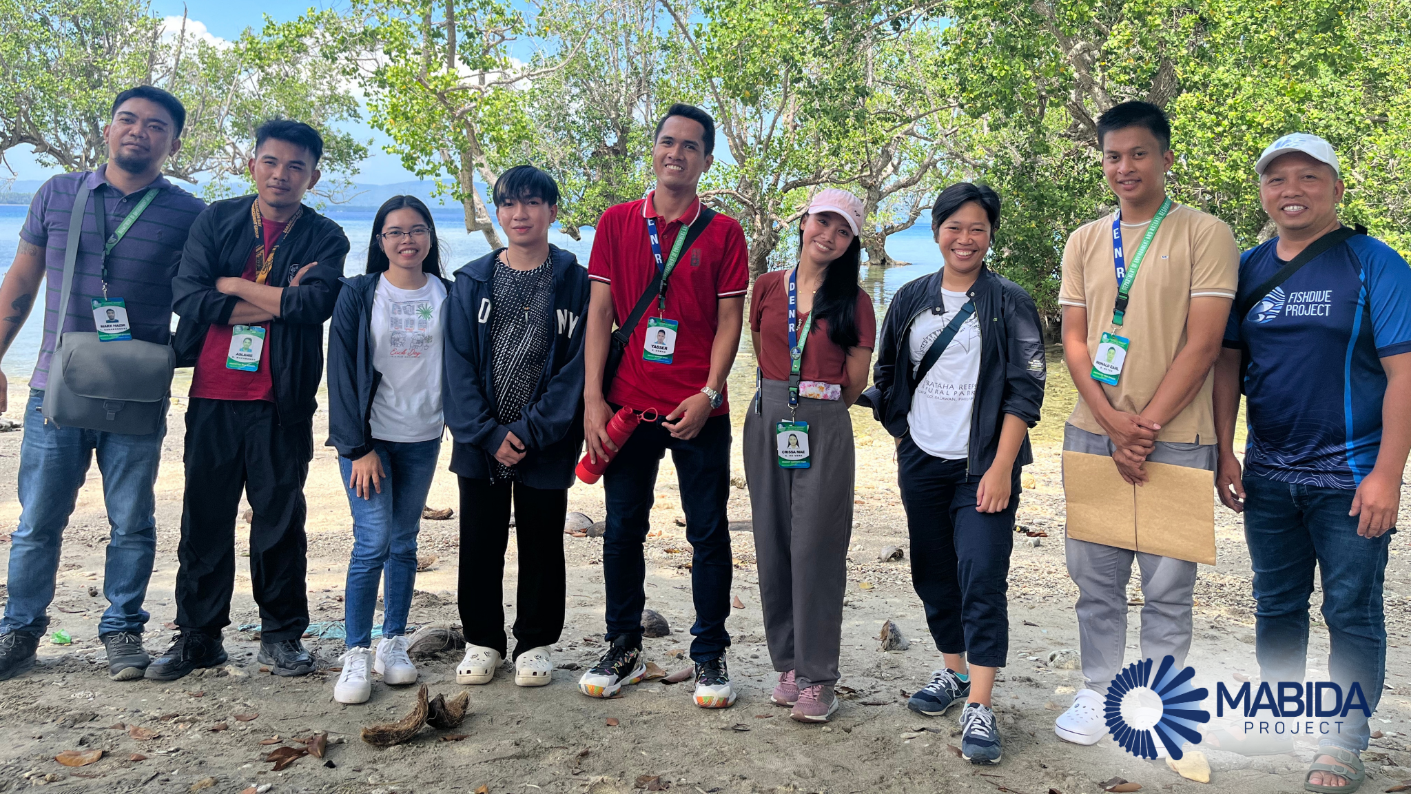
Last July 29-31, Mr. Norjan Charls Cabanalan and Ms Irene Faith Makinano of the MABIDA Project assisted the Coral Reef Resiliency and Ecology Studies Laboratory in conducting aerial surveys in selected Marine Protected Areas within Sarangani Bay Protected Seascape. These surveys aimed to map the extent of coastal and marine habitats in the study areas, contributing valuable data for conservation and management efforts.

The initiatives were made possible through the support of the DENR Protected Area Management Office of the Sarangani Bay, led by PASu Cirilio A. Lagnason, Jr., and with assistance from Mr. Ronald Earl B. Reyes, Mr. Aslanie Macabando, Mr. Marx Hazir T. Saraboquez, and Ms. Crissa Mae De Vera.

Other Articles

ABRAHAM Program Explores Collaboration with DOrSU for MABIDA

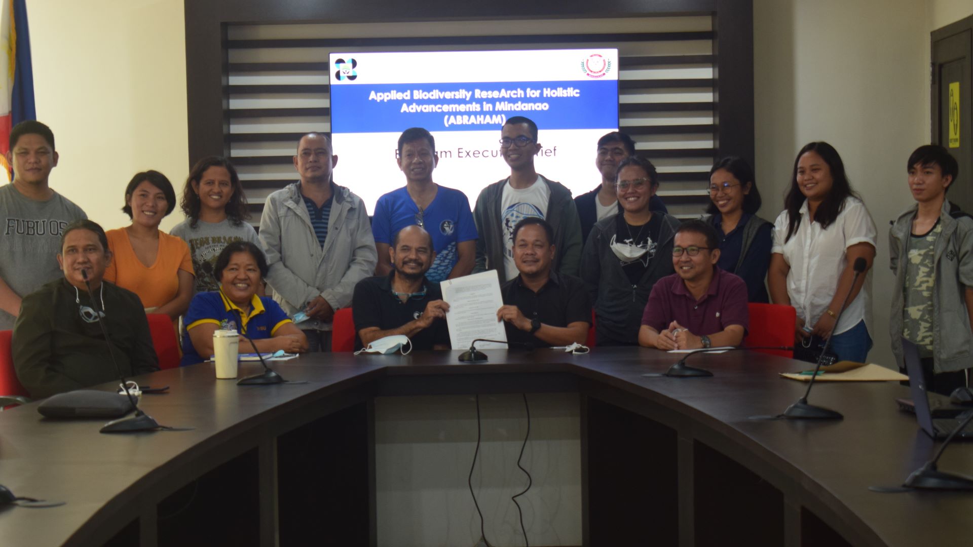
MATI CITY - The Applied Biodiversity Research for Holistic Advancements in Mindanao (ABRAHAM) Program staff visited the Davao Oriental State University (DOrSU) on February 22, 2022. ABRAHAM Project 2: MABIDA, or Marine Biodiversity Database, aims to collaborate with DOrSU to create a comprehensive database on Philippine reef fishes, specifically for the regions under the Celebes Sea and part of the Sulu Sea. DOrSU and other higher education institutions (HEIs) will participate in populating marine data into the database. Dr. Cleto L. Nañola, Jr., ABRAHAM Program Head and Project Leader, and Mr. Leo Manuel B. Estaña, Project Leader, spearheaded the meeting with the DOrSU President, Dr. Roy G. Ponce, together with the faculty and staff from the Information Technology department and Marine Biology department.

« first Previous Page 14 of 14