MABIDA Project: Drone Mapping at Pawikan Sanctuary in Davao City
Written by Ralph Raleigh P. Dalig
Uploaded on Sept. 27, 2022
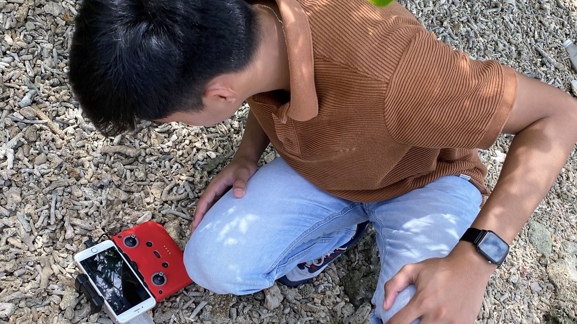
DAVAO CITY - Researchers of the Marine Biodiversity Database (MABIDA) Project conducted a drone mapping activity at the Pawikan Sanctuary Sanctuary in Aboitiz Cleanergy Park, Punta Dumalag, Matina Aplaya, Davao City last 27 September 2022. During the activity, Mr. Christian Japson, a licensed drone pilot, and researchers Norjan Charls M. Cabanalan and Ralph Raleigh P. Dalig of MABIDA were present.
As one of the protected areas in Davao that serve as a sanctuary for pawikans and other rare bird species, the drone mapping activity conducted around the coastal areas of the Aboitiz Cleanergy Park aims to collect data (aerial imageries) for subsequent processing into maps and 3D models that could potentially aid in the management of the area. Coordinated with the Aboitiz Power Corporation, the team ensures that the output of the said activity will be shared and featured on the Marine Biodiversity Database.


