Researchers from the MABIDA Project Engage in Two-Day Training on 3D Scanning and Printing
Written by Ralph Raleigh P. Dalig
Uploaded on Dec. 9, 2022
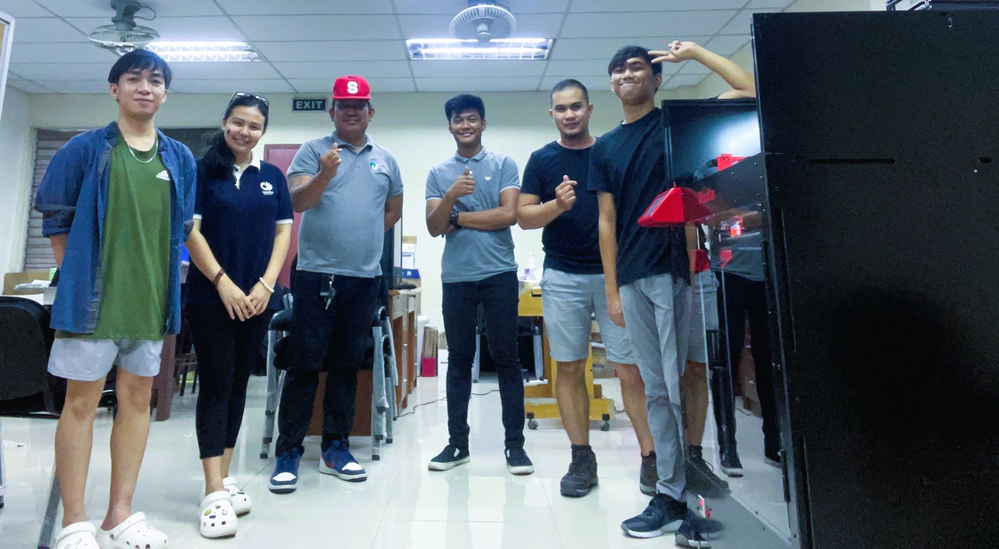
DAVAO CITY - Researchers from the Marine Biodiversity Database (MABIDA) Project attended a two-day training on 3D Scanning and Printing last 08-09 December 2022 at the MABIDA Laboratory, CSM, UP Mindanao, Davao City.
As part of the package for the procured equipment for 3D fabrication, training on the usage of the equipment was conducted and attended by the researchers from the MABIDA Project. Engr. Joseph Maggay of OmniFab Inc. shared his expertise in 3D scanning and printing. Norjan Charls M. Cabanalan, Geomarie Anne S. Paredes, Ralph Raleigh P. Dalig, and Ace Niño B. Guieb were present during the training.
Aside from the Marine Biodiversity Database being developed, one of the objectives of the MABIDA Project is to generate 2D and 3D models of the representative species of Mindanao marine biodiversity and establish 3D Museums and Exhibits, raising knowledge and awareness of our marine resources.
Other Articles
MABIDA Project: Drone Mapping for Coastal Management in Mabini Protected Landscape and Seascape
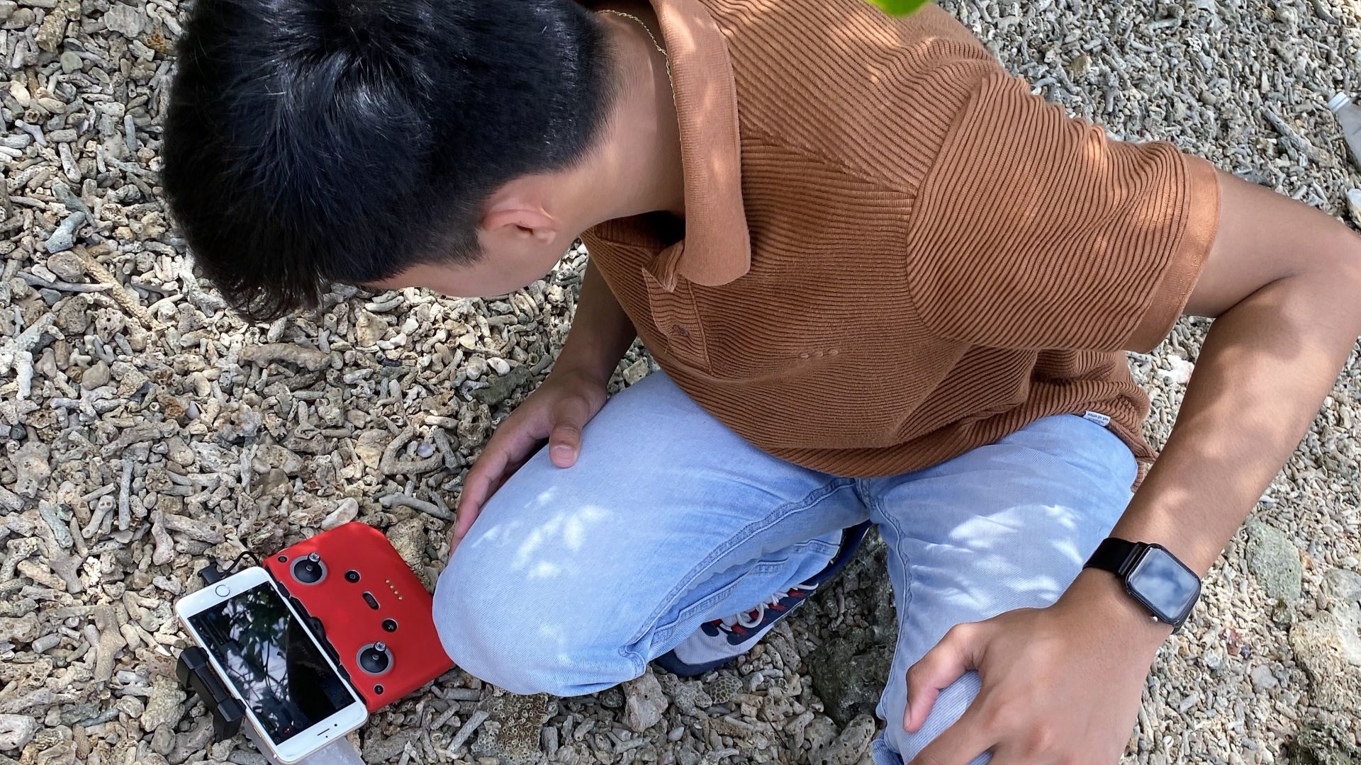
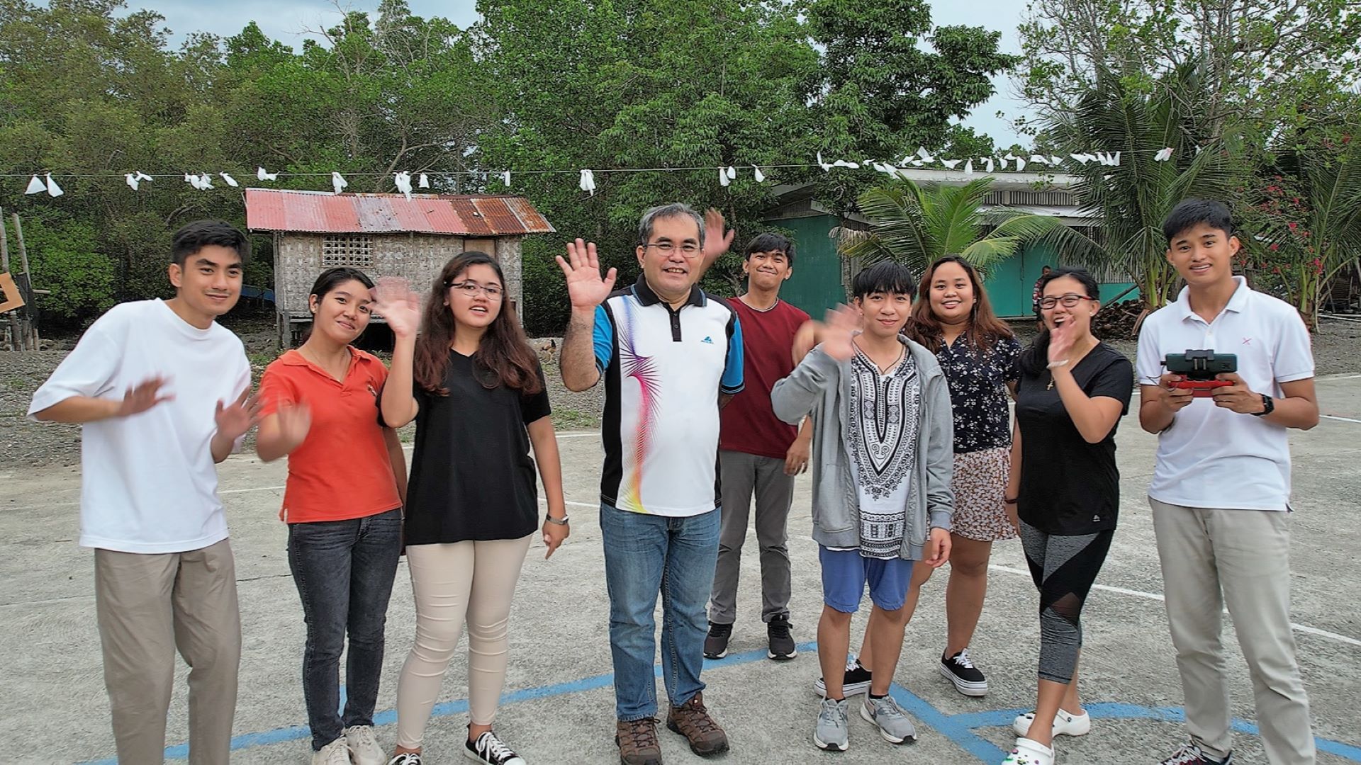
DAVAO CITY - Researchers of the Marine Biodiversity Database (MABIDA) Project conducted a drone mapping activity at a portion of the Mabini Protected Landscape and Seascape in Mabini, Davao de Oro last 29 September 2022. Present during the activity were Mr. Christian Japson, a licensed drone pilot, and researchers Norjan Charls M. Cabanalan, Geomarie Anne S. Paredes, Ralph Raleigh P. Dalig, and Maria Joselle V. Luzon of MABIDA. As one of the key protected areas in the Davao Region, the drone mapping activity conducted around the coastal areas of the Mabini Protected Landscape and Seascape aims to collect data (aerial imageries) for subsequent processing into maps and 3D models that could potentially aid in the management of the area. Coordinated with the local government unit (LGU) of Mabini, the team ensures that the output of the said activity will be shared and featured on the Marine Biodiversity Database.
MABIDA Project Engages NEMSU in Marine Biodiversity Collaboration
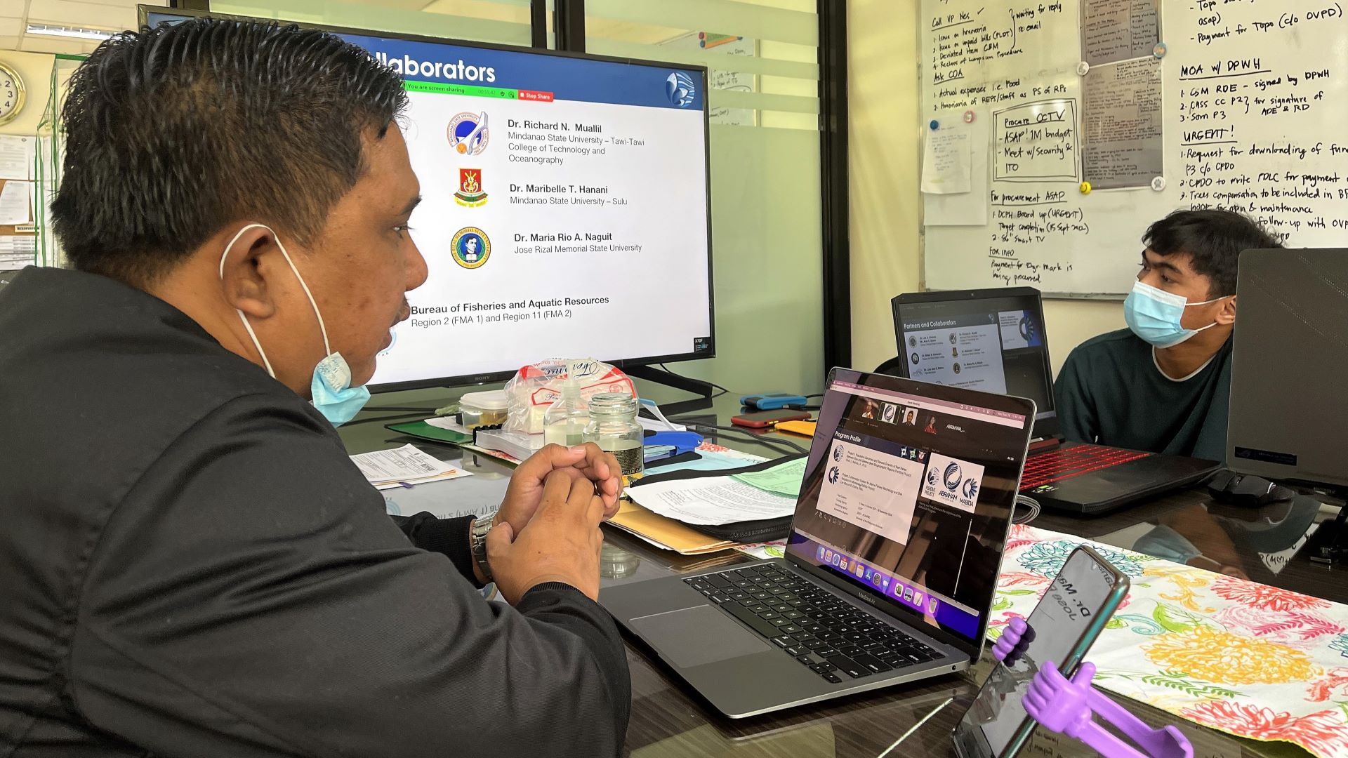
DAVAO CITY - ABRAHAM Marine Biodiversity Database (MABIDA) Project presented the second component of the ABRAHAM Program and the invitation for scientific collaboration to North Eastern Mindanao State University (NEMSU) on 28 September 2022. Present during the meeting were Mr. Leo Manuel B. Estaña, Project Leader of MABIDA, and researchers Norjan Charls M. Cabanalan, Geomarie Anne S. Paredes, Ralph Raleigh P. Dalig, and Maria Joselle V. Luzon of MABIDA. Ms. Amor Rojas-Salinas, a faculty member of NEMSU-Lianga Campus, represented NEMSU. The MABIDA team discussed the project's objectives, outputs, and details of the partnership. They also presented the features of the database and website being developed during the meeting. Ms. Rojas-Salinas expressed her interest in the said partnership and hoped for a strong collaboration in the future. ABRAHAM Project 2: MABIDA, or Marine Biodiversity Database, aims to collaborate with Higher Education Institutions (HEIs) around Mindanao to create a comprehensive database on Philippine reef fishes, specifically for the regions under the Celebes Sea and part of the Sulu Sea. NEMSU, one of the HEIs in Mindanao interested in marine biodiversity and resource management, is highly invited and encouraged to populate the database and conduct collaborative scientific activities.